


- Home
- 協会からのお知らせ一覧
- ウェブサイト「Welcome to OKAYAMA 晴れの国へようこそ」閉鎖のお知らせ
2024/03/22
ウェブサイト「Welcome to OKAYAMA 晴れの国へようこそ」閉鎖のお知らせ
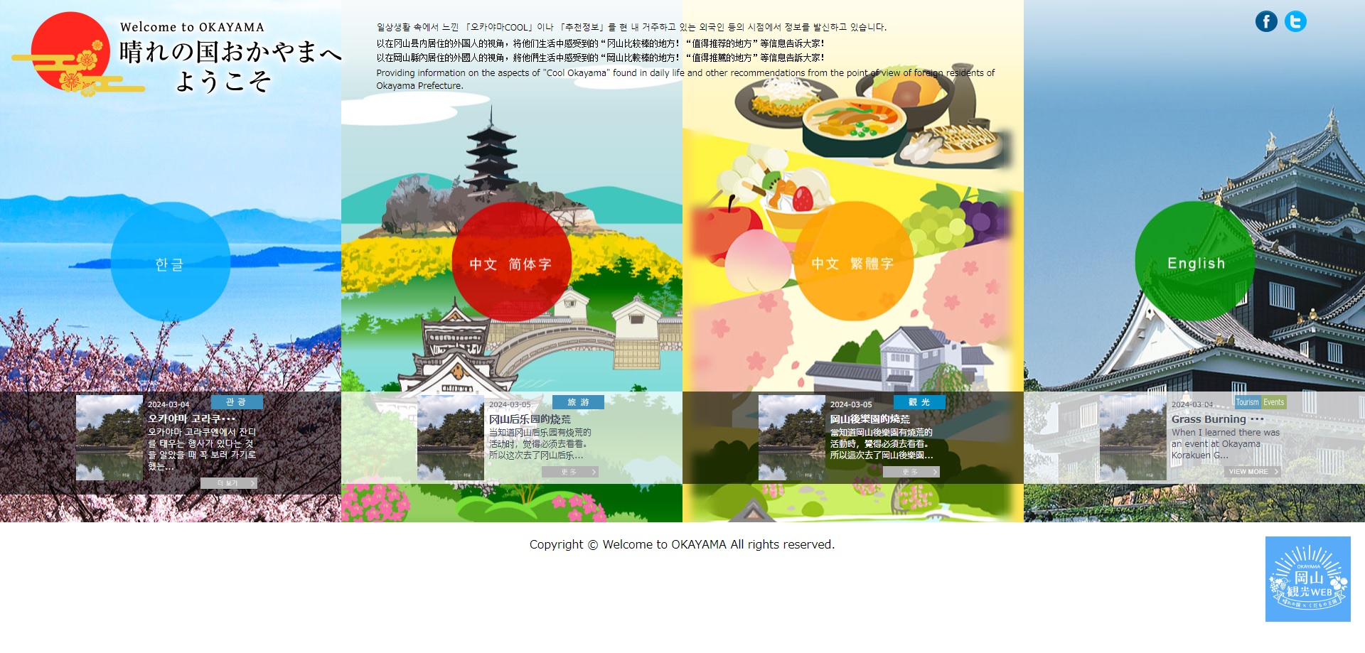
当協会では、県内在住外国人等が取材した岡山の見どころやグルメなどの情報を多言語で発信するウェブサイト「Welcome to OKAYAMA 晴れの国へようこそ」http://welcome-okayama.pref.okayama.jp/ を運営してまいりましたが、事業終了に伴い、令和6年3月31日(日)をもってサイトを閉鎖することとなりました。
長い間、ありがとうございました。
なお、サイトに掲載の直近の記事は、当協会ウェブサイトで引き続きご覧いただけるよう、整備してまいります。
公開準備が整い次第、お知らせいたします。